12 Real-Life Betrayals That Sound Like Movie Plots

Question for you: Does the island of Hy-Brasil [hai bruh·zil] sound familiar? You’ve surely never seen it on a vacation brochure. Not because it’s exclusive or hard to reach, but because it’s like the ultimate mash-up of myth and reality. Some people believe it’s just a figment of imagination, while others swear they’ve seen it with their own two eyes!
According to historians, the island of Hy-Brasil has been noted in both travelers’ records and ancient Irish legends. It makes this location an Irish version of Atlantis! Although it’s known by several other names too, the island takes its most famous name from Breasal [Breh-zahl], an important figure from Celtic folklore. It’s also been spotted on maps dating back to 1325. One cartographer for example placed it west of Ireland, while subsequent sailing charts have shown it more specifically southwest of Galway Bay.
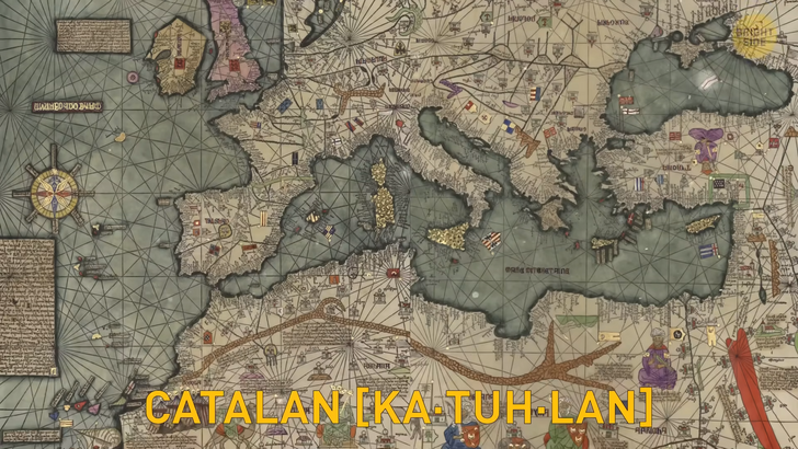
Here’s where things get even weirder. Two people have claimed to have found the island on their separate voyages. They returned home with almost identical descriptions of Hy-Brasil, which they dubbed the “Promised Land.” A Catalan [ka·tuh·lan] map from around 1480 also places the island in the southwest of Ireland, confirming a similar location for this mythical place.
Now, here’s the craziest part of all. Hy-Brasil is said to appear on maps as a perfect circle with a semicircular channel through the center. Two explorers claimed they separately walked the shore of the island to determine where it ended, but they never found it. Most likely, looking at those drawings, even if the island ever existed at one point, they were just walking in circles.
One of the most famous visits to Hy-Brasil was in 1674 by an Irish Captain named John Nisbet of Killybegs. He and his crew were in familiar waters west of Ireland when the fog suddenly appeared in their path. When it lifted, they found themselves dangerously close to rocks. The ship anchored nearby, and four crew members rowed ashore to visit Hy-Brasil. They spent a whole day there and even came back with silver and gold given to them by an old man who they claimed lived there!
Legend has it that another sighting of this mythical place was several years later when a fella claimed to have met an old man who’d been there himself. Could he be the same old man from the previous story? Now, this old man remembered spending a couple of days chilling on Hy-Brasil and even seeing on the horizon some familiar places from the west coast of Ireland while walking on its shores.

Another man went on a trip in 1872 to find this mysterious island, and he swore he had seen it too. It was right there in front of him! But, then, as quick as a wink, it vanished into thin air. Was this island ever real? That’s up for debate. We can’t deny though that there are so many stories and legends about this place that it’s hard not to be curious. We’ve only recently figured out that this next island doesn’t exist!
Does Sandy Island ring any bells? It’s been causing quite a stir since 2012 when it was discovered that the island, which was previously featured on maps, including Google Earth, was just a figment of our collective imagination. People had been searching for this phantom island for years! It was recorded at one point by a British ship way back in 1876 and even appeared on a British map in 1908. Even though numerous expeditions had failed to find the island, it remained on some maps until it was finally removed. But how did we finally figure out that Sandy Island was just a myth?
Well, a group of scientists from the University of Sydney decided to take matters into their own hands and visually confirm the island’s existence. Maybe even take a photograph or two while they were there, right? But when they arrived at the supposed location, they found the ocean sitting there all by itself — with no piece of land in sight! Most likely the crew of the British ship may have just mistaken a pumice raft for an island. Pumice rafts are floating rocks that form from volcanic activity and are known to float past the area where Sandy Island was supposed to b
Let’s move on to this next story about another fictitious island, a tale about a fella named Robert Peary. You see, back in the day, Peary was trying to gather some money to fund his much-wanted Arctic expedition. So, what does he do? He decides to create a whole new island out of thin air!
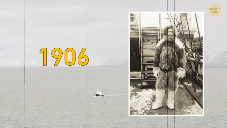
Talk about creative marketing, or a scam — take your pick. Peary called this mythical island “Crocker Land,” after his pal George Crocker, who had given him some money for one of his previous expeditions. Peary claimed to have discovered the island during his 1906 trip to the Arctic, but it was all a big fib to try and get more investments from his buddy.
Peary even went so far as to write a book about his fake discovery called “Nearest the Pole.” Surprisingly, people did fall for it! Other explorers even started searching for the fictitious island. Despite it never existing at all, Crocker Land appeared on maps created between 1910 and 1913. It was even referred to as a whole continent in some circles! People were so intrigued they even named it the “Lost Atlantis of the North”.
Eventually, Peary’s little scheme was uncovered, and the truth about Crocker Land was revealed. This next mysterious island also seems to enjoy playing hide and seek with its visitors. Back in 1821, a man claimed he stumbled upon an island close to Antarctica and decided to give it a special name: Emerald Island, after his ship. But this island seems to have a bit of a quirky personality, as it likes to disappear whenever it feels like it, leaving explorers scratching their heads and wondering if they’re losing their marbles.
Some people claim they’ve seen the island with their very own eyes, while others say it’s nothing but a myth. Some even say it moves around like a sneaky ninja, which is why it’s so hard to find. Recollections may vary, sure, but here’s where things start to get fishy, though: even those who claim to have seen Emerald Island can’t seem to agree on what it looks like. Some tell stories about a towering mountain with cliffs, while others insist it’s a lush green forest with rolling hills. One captain even claimed it was small and rocky, with no place to land.
Despite all the confusion, there have been a couple of interesting incidents around the supposed location of the island. In 1894, a Norwegian expedition to the South Pole thought they had finally found the elusive island, only to realize it was just an iceberg. In 1949, the crew of a ship from New Zealand got excited when they spotted what they thought was Emerald Island... but it turned out to be a group of clouds hanging out on the water.
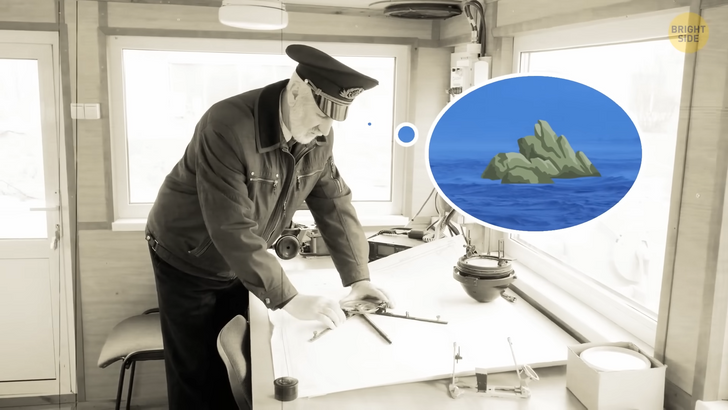
This next island was supposedly found by a certain Captain Daniel Dougherty. He claimed to have stumbled upon an island far south in the Pacific Ocean during a trip from New Zealand to Canada in 1841. He named it Dougherty Island after himself, of course. Several other sailors also claimed to have seen the island, confirming its existence.
However, one Captain Scott couldn’t find it when he passed by its supposed location in 1904. Did it magically disappear? The icing on the cake came on August 11, 1931, when an Australian newspaper reported that a joint British, Australian, and New Zealand expedition sailing to Antarctica passed by the supposed location of Dougherty’s Island and couldn’t find it.
The commanding officer of the ship noted the details of the incident, stating that the vessel passed directly above where the island was said to be. The weather was clear, and there was no island within a considerable radius, so it couldn’t have been hiding anywhere else. And just like that, Dougherty Island was removed from British maps in 1937, as if it never existed. Hey sometime, remind me to you tell the story of Bright Side Island, a fanciful place located smack dab in the Internet Ocean...


