15+ Witty Comebacks From Children That Make Us Burst With Laughter

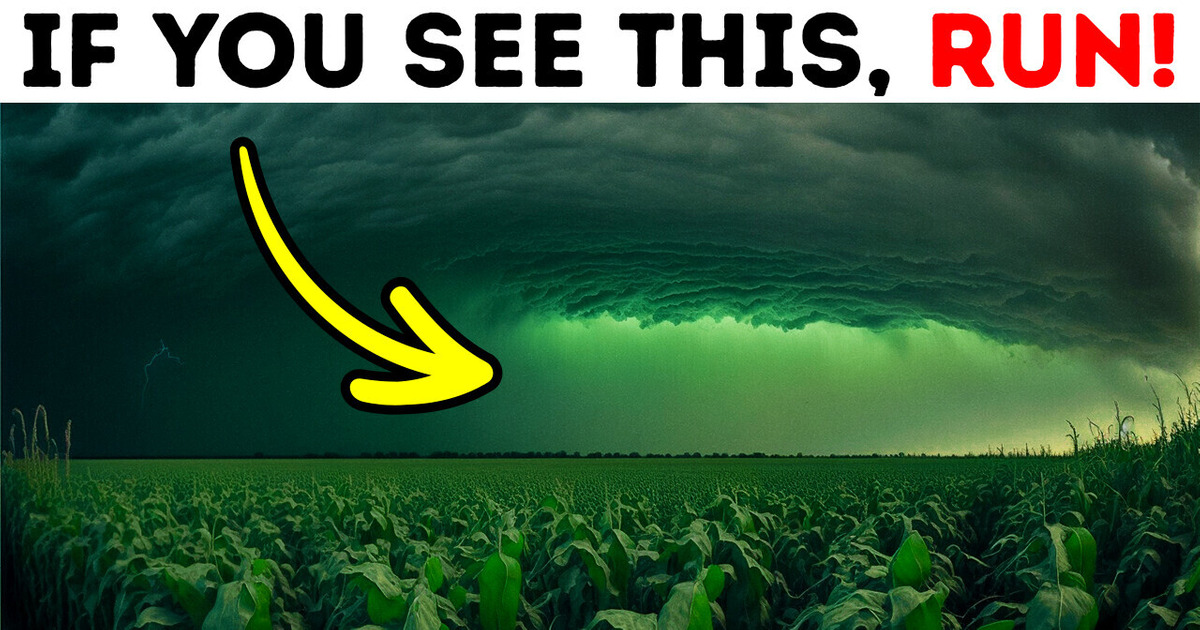
Something interesting has happened in South Dakota... It was all over the Internet, so perhaps you already know about it. In July 2022, the sky in this state suddenly turned green. So... What happened there? Was it caused by a human, or by nature? Let’s find out.
Tuesday, July 5, 2022. Shortly after a heavy storm, the sky over South Dakota in the US was still overcast. Locals finally went outside and saw that the sky had an intense dark green hue, and they’d never seen anything like that before. People said that it looked like something straight up from science fiction or even a horror movie.
Unsurprisingly, South Dakotans immediately started spreading the news all over social media. People shared their beautiful, yet very eerie pictures on Twitter. They showed the sky over the city of Sioux [Soo] Falls and a few other towns.
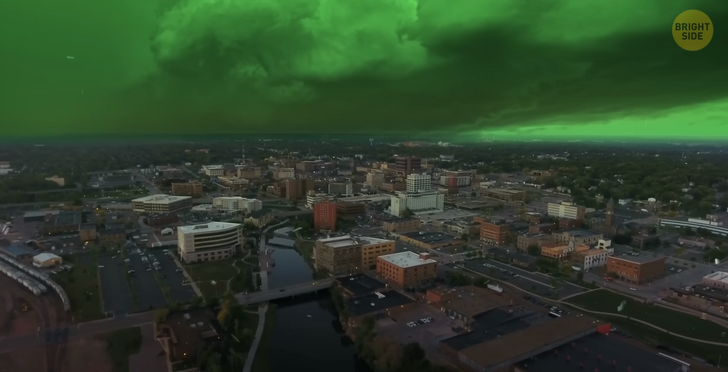
Even though it may look like something supernatural, in reality, this is not a terrifying phenomenon at all. It’s a simple play of the light and the atmosphere. Something like this happens quite rarely and usually means that really bad weather is approaching. And that’s also true to what happened in South Dakota.
Just before people started sharing photos, a thunderstorm swept through the town of Sioux Falls. This was confirmed by the US Weather Service. This hurricane was terrible: the wind speed was about 100 miles per hour. According to the Beaufort Scale on Wind Speeds, this is the fastest and most destructive storm.
There are only 12 numbers on this scale, and the maximum wind strength starts at 73 miles per hour! But why isn’t that all over the news then?! Well... Because it’s kind of a usual thing for the residents.

Thunderstorms occur very often in the United States, especially in the warmer months. And 1 out of 10 such thunderstorms can become something serious, like a tornado. This one wasn’t an exception. It was the so-called “Derecho [deh-REY-cho] storm”.
Derecho is very widespread and long-lived. It’s actually a combination of a fast-moving group of severe thunderstorms and downpours. People often say that a derecho is “as strong as a tornado.” Still, there’s a difference between them.
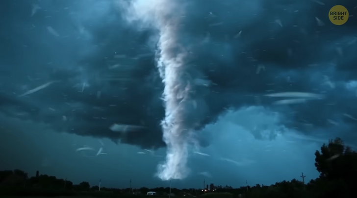
A tornado is a vortex, a rotating column of air. It’s usually about 500 feet in diameter. Although sometimes its width can reach up to 2.5 miles... I don’t envy those who would stumble upon it. But the main point is that they ROTATE. The wind moves very fast in a circle near some “invisible center”.
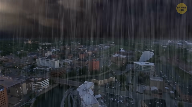
A derecho is a strong thunderstorm, or a system of strong thunderstorms, with straight-line winds. In other words, it doesn’t spin. Instead, the derecho “chooses” a point somewhere and simply “runs” to it. Like a very motivated marathon runner.
If we compare a derecho to an ordinary tornado... The latter has 6 levels of strength, from 40 to 380 miles per hour. So a derecho is kind of like a “small”, average level 1-2 tornado. Usually, its speed is within the range of 73 to 113 miles per hour.
And, in both cases, they can be accompanied by severe thunderstorms, lightning, and rain. But still, these are different things. A storm becomes a derecho if the damage trail left by it exceeds 240 miles and if the wind speed is at least 58 miles per hour.
It’s quite difficult to predict. It can form even on a clear day when meteorologists don’t even anticipate any storms. And then, the winds appear suddenly. It’s so surprising that they may even feel explosive. But the National Weather Service tries to warn people at least half an hour or an hour before this happens so that residents have time to prepare and hide. It wasn’t any different this time.
The storm swept through almost all of South Dakota, as well as the states of Minnesota and Iowa. The consequences were quite serious: more than 30,000 people were left without electricity. Fortunately, people were fine. That’s because the locals are pretty used to derechos. However, the green sky is something different... It became a very unusual sight for the locals. Everyone was wondering why it happened. Was it a bad sign, or a normal weather phenomenon?
Well... To be honest, scientists don’t have an exact explanation... But, although there are only assumptions, they sound pretty convincing. A green sky is a very rare phenomenon. Most scientists think that this happens when a powerful storm approaches the area before sunset or sunrise. Then the sky will turn green in this area. NBC meteorologist Bill Karins, who once faced a similar event himself, suggests that the green sky appeared because of the huge hail before the storm.
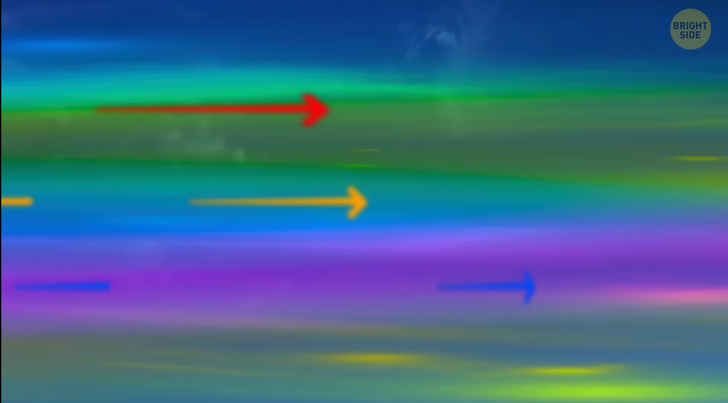
First, let’s talk about why the sky looks blue (or any other shade, depending on its mood). In short, the Sun simultaneously carries all the rays of the color spectrum. It may seem white to us in total, but it actually has all the colors at the same time! However, these color waves all have different lengths. For example, blue rays are shorter than the other ones. They “jump away” from the air molecules better than the red waves, so they reach us faster. Because of this, on a regular clear day, the sky seems blue.
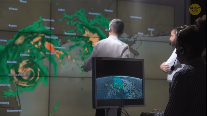
At the same time, red and orange color waves are very long and move slower. So they’re usually left behind. But when the Sun goes below the horizon or rises, the rays’ directions change, and these waves reach us better. It all means that even if the sunrises and sunsets seem red and orange to us, in fact, there are still blue and green waves among them.
But they have to bounce off something to reach us faster and become stronger than the red rays. Have you guessed what I’m getting at? This is where the water comes into play! Clouds are made up of water droplets. When they become large enough, but don’t fall yet (for example, due to strong winds), they affect how the light behaves in the sky.
Large, heavy storms mostly consist of water and hail. And water reflects blue and green rays best of all. That’s exactly the reason why the water in rivers and lakes seems bluish-green to us, although in reality, it’s transparent. And yeah, algae matter too.
So, there are a couple of key factors why the sky may turn green. First off, the sun should be at the horizon level. Another factor is that while the storm clouds are approaching, they shouldn’t cover the sky completely. There still must be a little room for the sun rays.
Then, barely noticeable blue rays jump up to storm clouds. They’re repelled by water droplets and hail. Mixing with the red sunset, they turn into a bright green light. And this green light is spreading all over the sky. That’s why in most of these cases when the sky turns green, people can only see it in the evenings.
Yeah, it can also happen in the middle of the day. But since the conditions are already quite specific, seeing something like that during the day is even rarer. Still, if you see a green sky, you don’t need to panic. It doesn’t necessarily mean that a terrible storm is approaching. The chances are high though, but still, it’s not a rule. It can be just heavy rain! Or a heavy hail...
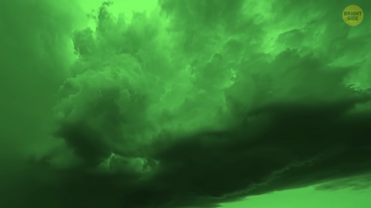
In other words, if you see a green sky, then you’d better hide... and hide your car. However, if you are lucky enough to see the stunning sky from the comfort of your own home, it is indeed very exciting. If you get a glimpse of something like that, just know that you had a chance to experience something very rare and special! Some people said it was the most incredible thing they had ever seen.
Hey, I wanna see something like this one day too. One ticket to South Dakota, please! Getting into a tornado or rain doesn’t sound nice though, but a good raincoat would help me out, right?


