I Refused to Be Humiliated by My MIL, So I Quickly Responded With the Ultimate Payback

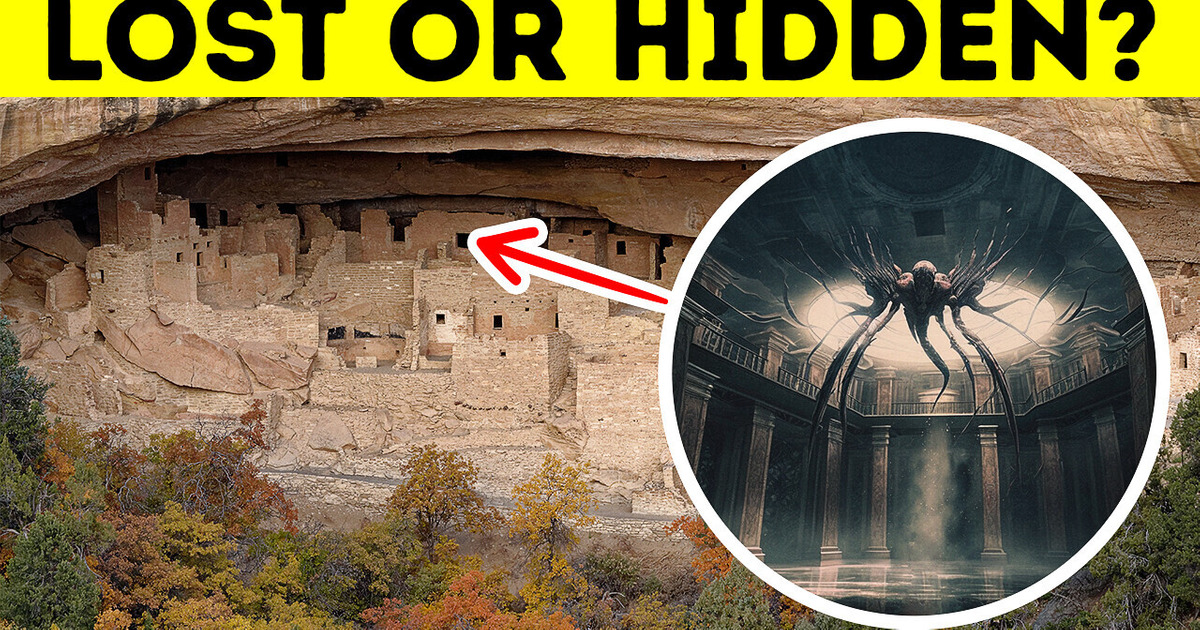
Imagine you get to be an archeologist for the day. You’ll travel the world to solve the mystery of long-lost civilizations that disappeared without a trace. Grab your chisel (and fedora), and let’s go!
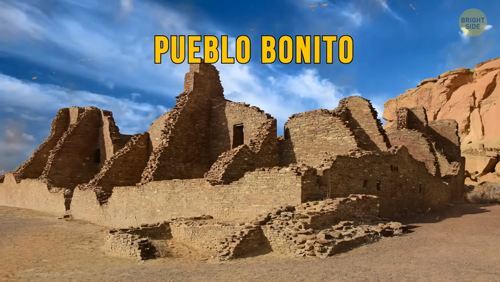
You arrive at the American Southwest, where an ancient mystery is waiting to be solved. You make your way to Chaco Canyon, just outside of Albuquerque, New Mexico. It’s hot and dry in this deserted area. You are here to visit the ancient ruins of the Anasazi people. It is said that they were a thriving civilization that met a mysterious end. You hike a few miles before you begin to make out the shape of dwellings, constructions built of stone in the middle of the Canyon.
This is Pueblo Bonito, a 10th-century complex that contains as many as 800 rooms and stands over 5 stories tall. The buildings are beautiful and made from sandstone. To access the complex, its inhabitants built a 400-mile network of roads, some of them 30 ft wide. You can’t wrap your head around the fact that it was built so long ago. Everything looks so well-preserved!
The Anasazi reigned over the so-called Four Corners region from 100 CE to around 1,600 CE. During this time, they built a civilization that sprawled over 30,000 sq. miles, including Colorado, New Mexico, Utah, and Arizona. Standing inside a huge kiva, an underground ceremonial chamber, you wonder what happened to the Anasazi people. Scientists have analyzed tree rings and found out that the Anasazi population lived through a period of great drought. The drought is believed to have lasted 23 years, and there was possibly no rain at all during this time.
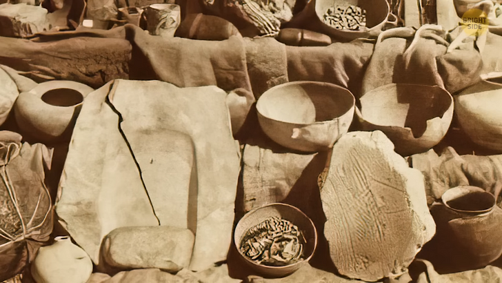
This definitely affected their livelihood: from malnutrition to battles over food and resources. But was it enough to make 30,000 people flee their homes? Researchers say these people left their homes with their belongings still in place. Ladles were left in ceramic bowls; granaries were full of supplies. It was as if they intended to return but never had the chance to come back.
For many years, archeologists have believed that the drought was the reason for the disappearance of this thriving society. But there’s other evidence that shows a different story. Anthropologists say that the Ancestral Puebloans, as they are also called, were an exemplary population. They were peaceful and lived together in harmony. But that’s not what their architecture shows.
They isolated themselves from the rest of the world by building their settlement so high on top of cliffs. And they built walls and other security structures in order to protect themselves. What were they so afraid of? Recently, archeologists began to study bone fossils of the Ancestral Puebloans, and they’ve found evidence that suggests that toward the end of their civilization, things might have gotten pretty bad.
Evidence shows that local leaders were ruling using fear-based methods. Severe punishment started to be inflicted on those who did not follow their strict rules. Why this happened is still a mystery, and you might need many other excavation trips to find out the truth.
It’s lucky that your next destination is really close by. Still in New Mexico, you’ll visit the Blackwater Draw. It’s a national prehistoric site that holds the story of the Clovis people. You’re shocked to find out that the Clovis are possibly the oldest humans to have inhabited the US. They were the first humans to allegedly cross the Bering Strait and follow the ice-free trails down to the US’ Southern plains.
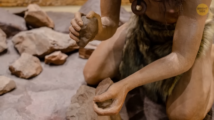
Try to picture what this area looked like when the Clovis people roamed this land: a huge spring-fed lake with mammoths, giant sloths, saber-toothed tigers, and bison much bigger than the ones we have today wandering around. The archeological site you are visiting shows that the Clovis population were big-game hunters. You’re able to identify the bones of several mammoths and even the stone tools that our prehistoric ancestors used to hunt them. Some of these date back to 13,000 years ago, aka, the end of the last Ice Age.
You’re presented with two possible theories on the disappearance of the Clovis population. It’s possible that during the final 1,500 years of the last Ice Age, changes in climate caused a shortage of food. Scientists also believe that this situation was worsened by overhunting. Another theory suggests that a large meteor hit North America, and this was enough to alter the climate and make the Clovis people migrate southward to try to survive. But the truth is, there’s no evidence that any of that happened.
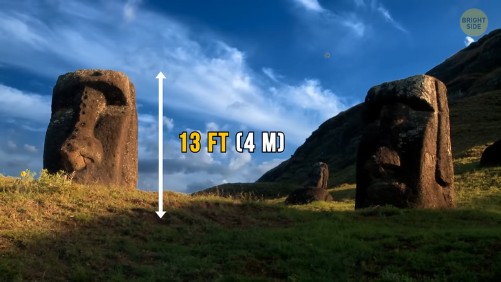
Next, you’ll fly to the Pacific Ocean, to the mysterious Easter Island. This place has left us with many questions. From the building of 13-ft-high face-statues to the sudden disappearance of the Rapa Nui people who inhabited the area. You approach the island at Anakena — a white sandy beach on the island’s northern shore.
Researchers believe this area was one of the first settlements of the Rapa Nui. You could say you’re standing at the end of the world, as you’re over 3,000 miles away from South America and 1,000 miles away from the nearest island. Around 800 CE, when the first humans arrived, the island was an oasis. Today, the area is mostly deserted.
You get your first clue on the fall of the Rapa Nui from an excavation pit you open at the beach. There’s clear evidence of human presence: charcoal, tools, and bones — some of them belonging to rats. Bingo. When humans arrived at Easter Island, they brought along rodent companions. They probably didn’t know this at the time, but these rodents would contribute largely to their demise. Rats love palm trees, which helped to deforest the natural vegetation of the island gradually over the years.
But there’s another clue! Looking into genetic data, you discover that South Americans came into contact with the Rapa Nui around 1722. What might have happened to this population is the same that happened to other, more isolated groups. The contact with foreign groups brought about diseases that possibly led to the end of the Rapa Nui.
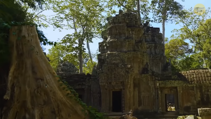
To finish off your trip, you’re headed to Cambodia. The country was once home to the great Khmer Empire from the 9th century CE to the 15th century CE. The ruins of this place are magnificent. Your main excavation site is the plains of Angkor, built alongside the Mekong River. This huge site was the most important Khmer city at the time. Just FYI, “Angkor” actually means “capital city” in the Khmer language.
The Khmer were able to build a huge network of roads connecting Angkor with the rest of the Empire. And it’s believed that up to one million people were spread throughout the Khmer Empire at its peak days. It was the largest preindustrial city in the entire world. It’s comparable in size to modern-day Los Angeles, just so you can get an idea.
The Khmers were also master builders and engineers. They managed to build a complex irrigation system that helped their rice farming through the centuries. And to connect their cities, they built almost 500 mi of intricate highways and bridges. Oh, and not to mention the complex architecture of their religious buildings, such as Angkor Wat — one of today’s most visited tourist sites in Cambodia. It took over 30 years to build, and it spreads over almost 500 acres. Back in the day, its towers were probably decorated with gold. But today, the site is a maze of vine-covered temples.
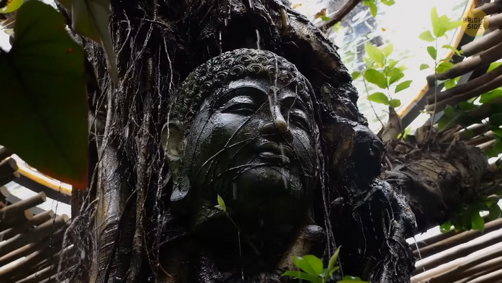
Like your fellow researchers that came here before you, you are unsure of what caused this civilization to be wiped off the map. One possible guess has to do with the climate in the region. Strong monsoons might have caused massive floods and severe damage to the infrastructure — especially to the water system the Khmer people heavily relied on to survive.
But another reason could have been regional conflict and immigration. Toward the end of the 15th century, the Empire started to decline in numbers, and this could have weakened its strong power. You might not go home with many answers, but you’ve certainly learned a lot, huh?


