14 Quite Acts of Kindness That Changed Someone’s Life Forever

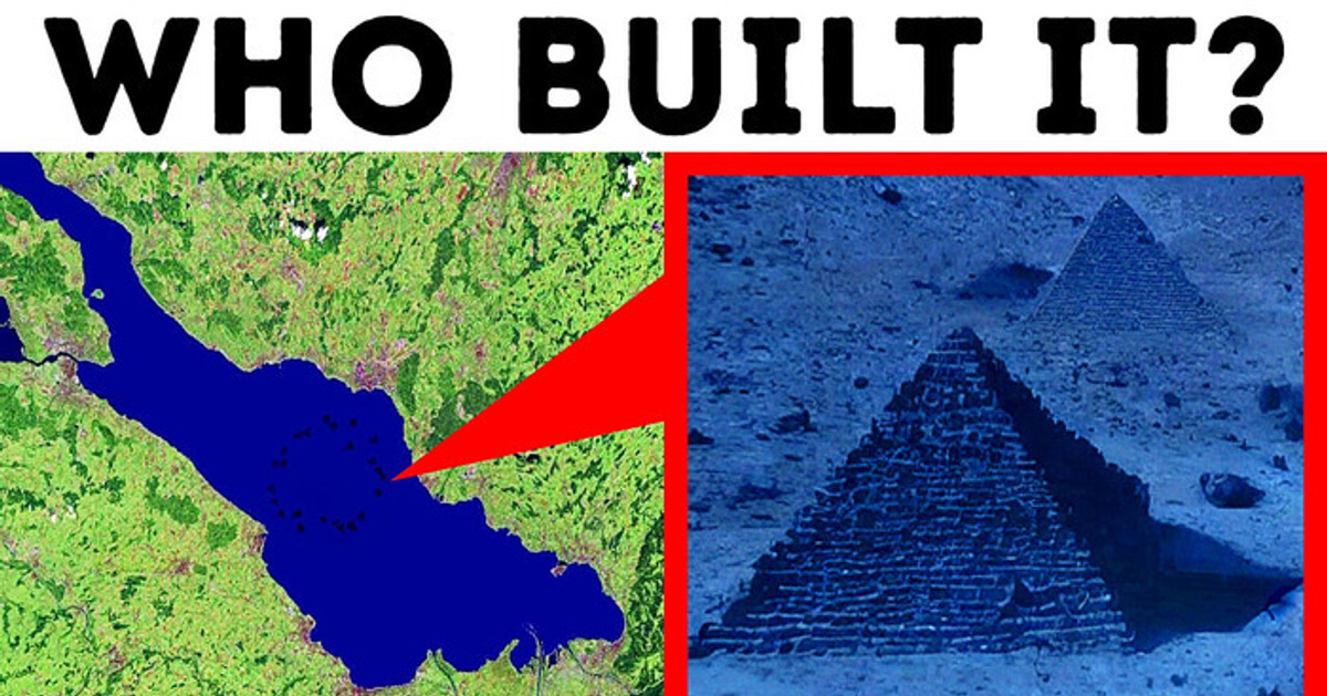
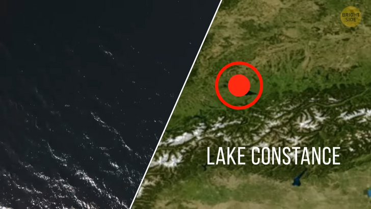
Ever since Plato wrote about the allegory of Atlantis, humanity has been fascinated with the possibility of the discovery of a thriving underwater civilization. Fancy joining me on a trip to a few historic underwater sites? Let’s see what we can find out about ancient civilizations! The first one on our list is what is being called the underwater Stonehenge. Scientists have recently discovered a mysterious pile of cairns that stretch for miles under the shimmering waters of Lake Constance at the borders of Switzerland, Germany, and Austria.
Archeologists began to explore the site back in 2015, and they haven’t been able to understand yet what it was actually used for. What they do know is that there is a 12 miles line of 170 human-made stone cairns under Lake Constance. Scientists say this was most likely the result of the combined work of several villages. The cairns site was probably used for some collective purpose. The formations are huge! Some of them are several dozen feet wide.
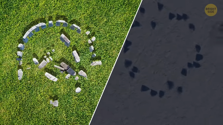
The most amazing discovery so far is that the site dates back to around 5,500 years ago. Now — what were we humans doing back then? We were living in the prime years of the so-called Stone Age. We were beginning to make artifacts from stone and use them to hunt and eat. Can you imagine what a knife and fork might have looked like back in those days? It’s no coincidence that scientists call this site the underwater Stonehenge, though. Both sites are believed to have been built around the same period of time.
You see, Stonehenge dates back to around 3,1000 BCE. Both sites carry the distinct characteristic of stone monuments built in a circle. Not to mention the fact that scientists also haven’t figured out why on Earth our early ancestors would feel the need to build a monument such as Stonehenge. Well, the mystery of Lake Constance hasn’t been solved yet: who were the neolithic people from this area? And for what purpose did they go through such an amount of work and effort to build this huge stone site?
Next, we’re taking you on a tour of the Ryukyu Islands, just off the coast of Japan. You are diving deep down to an archeological site. But I should warn you: the waters of the Pacific Ocean are far from smooth. It doesn’t take long before you see a huge structure, thanks to the sunlight shining down on the seabed. At first, it looks like Machu Picchu’s ruins located across the globe in Peru. As you approach the site, you slowly figure out its forms. A pyramid-shaped structure. Arches. Staircases.
It’s something that could have easily been a palace or castle. Could this be a sign of human activity? What you’ve just seen is known today as the Yonaguni Monument. It also goes by the name of Japan’s Atlantis. The entire monument is about the size of 5 soccer fields and the height of a five-story building. Its most surprising feature is its expansive terraces. Explorers and scientists believe that Yonaguni might be 10,000 years old. But whether it’s a human-made structure or a natural formation is still under debate.
For Japan’s top marine geologist, Professor Masaaki Kimura, Yonaguni is the heritage of a lost civilization. Kimura has dived to the bottom of the ocean to explore the ruins over 100 times over the past 10 years. According to him, there are clear signs of human activity down there.
On the monument’s surface, there is a triangle-shaped concave that is a historical symbol of water fountains in the region. There is also a giant turtle carved on the eastern side of the structure. And according to Kimura, turtles have an important cultural meaning. Several pieces of stone tools have been recovered from the site. Their estimated age is around 10,000 years.
However, not all scientists support this theory. For many, Yonaguni is the result of thousands of years of erosion. The fact that the monument is composed of one massive rock leads them to believe it’s not human-made. The defined edges and flat surfaces resemble a natural formation in Northern Ireland known as the Giant’s Causeway. The basalt columns look like the ruins of a palace, but they are actually the result of volcanic activity in the region.
Now, you’re flying to the coast of Greece, 4 hours away from Athens. More specifically, you’re in the Peloponnese peninsula. You dust off an old snorkel and head for a free dive on a bright sunny day. Some time into the dive, you start noticing patterns on the seabed.
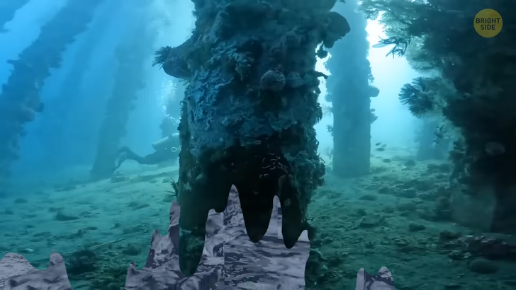
13 feet below the surface, outlines of familiar objects start to appear, one by one. As you continue swimming, what looks like the outline of an entire city emerges in front of your eyes. Are you wondering how water could have taken the whole city? Rocks are perfectly aligned into what appears to be the foundation of a building. This is Pavlopetri, an ancient city you probably hear about for the first time.
It was discovered by Nicholas Flemming, a British oceanographer, when he was on vacation in Greece. He had heard rumors about Pavlopetri’s existence and, indeed, found several artifacts on the seafloor. He went back to the area a year later with a team. They found a site filled with pots, storage vessels, and tools.
A quern stone, for instance, is a tool used for grinding grains and turning them into flour. Multiple amphoras indicate that this settlement dates back to the Bronze Age, 5,500 years ago, when people started living in towns. The settlement is believed to have existed for over 2,400 years. Today, Pavlopetri is considered the oldest submerged town ever discovered.
And what’s impressive is that it wasn’t a simple village. It was a vibrant port city with stone buildings, a marketplace, streets, and even squares. The next stop on our voyage is one of today’s most famous underwater cities that has been turned into an archeological park. The city of Port Royal in Jamaica exists only below the surface. But in 1692, it was one of the wealthiest cities in the western hemisphere.
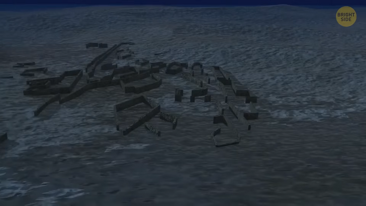
Port Royal was the center of the British Empire at the time and an important trade city that attracted people from all over the region. It was also home to real-life pirates of the Caribbean. On the morning of June 7th, 1692, the people of Port Royal met a different fate than they had probably expected. The city woke up shaking.
People were thrown out of their beds by the power of a massive earthquake, ranking 7.5 on Richter scale. One survivor said he had seen Earth opening up and swallowing the whole town. What he said could be true, as the city was mainly built on sand. The ground swallowed buildings, roads — you name it. Geysers erupted, and finally, waves as big as ten-story buildings hit the city.
About 33 acres of the city disappeared under the water. Amazingly, most of its 17th-century remains are still in good condition under 40 feet of water. Archeologists have found taverns, storage rooms, kitchens, and recreational buildings used for diverse purposes. You can also see a grand lion statue, a submerged bridge, and many picturesque arches.
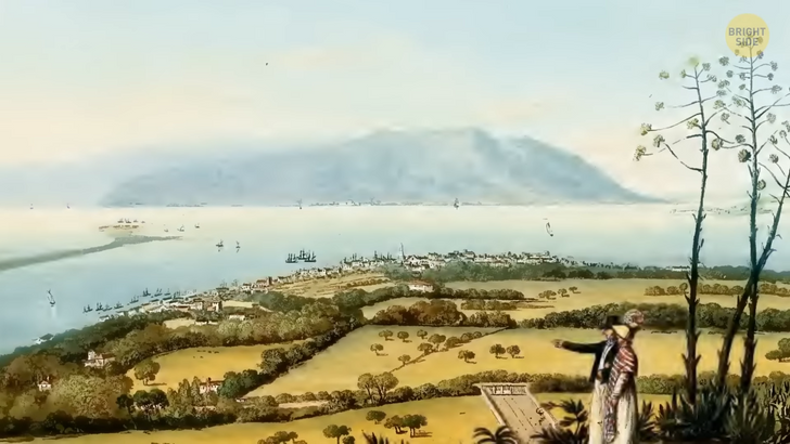
Of course, I saved the best for last: India. Just off its coast lies another sunken marvel. A site known as the lost city of Cambay is located in the gulf with a similar name. It remained undiscovered until 2001 when the National Institute of Ocean Technology made a routine water assessment.
With the help of sonar technology, which sends a wave of sound to the bottom of the sea, they found something far beneath the surface. Images showed well-defined geometric shapes spread along a five-mile stretch. The remains date to more than 9,500 years ago, meaning this civilization was lost at around the end of the Ice Age.
Debris recovered from the site included construction material, pottery, beads, sculptures, and even bones. Scientists argue whether these artifacts are indeed from the site. But if they truly are, then the lost city of Cambay might be the oldest civilization in the world.


