My MIL Called My Son a “Lottery Ticket,” but I Got the Last Laugh

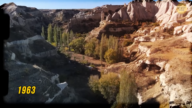
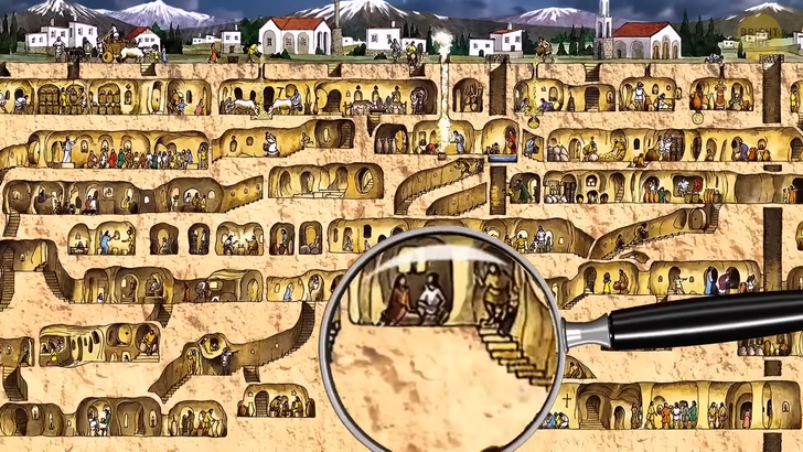
Imagine discovering an ancient city without leaving the comfort of your home! In 1963, a man in the Nevşehir Province of Turkey did exactly that. He was renovating his house. He knocked down a wall in his basement and found a mysterious room. He continued digging and saw a tunnel. This is how Derinkuyu Underground City was found. Derinkuyu is one of the deepest multilevel underground settlements of Cappadocia and in all of Turkey. This engineering masterpiece has 8 levels. The inhabitants living on those floors had access to cellars, storage areas, chapels, a school, a study room, and other structures.
All floors are connected by an extensive network of tunnels. It’s believed that the underground city was built as a shelter. You can’t see the construction from the outside. Its depth is approximately 279 feet. The complex was large enough to shelter about 20,000 people, plus their livestock and food supplies. There’s also a 180 foot ventilation shaft. People used it both for ventilation and as a well. The well supplied water both to the villagers living on the surface and to those hiding in the underground city. Interestingly, those living on the bottom levels were able to cut off the water supply for the upper and ground levels. This kept the water safe from potential poisoning. The place was designed for protection. The tunnels could be blocked from the inside with huge round rolling stone doors. The passageways were extremely narrow. Potential invaders had to enter the tunnels one at a time. Seems like they thought of everything in the 7th century BCE!
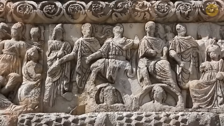
Archeologists believed that Phrygians were the ones who first built the levels. After them, the structure was used and enhanced in Roman times. This was when the chapels were added. The golden time of Derinkuyu, however, was during the Byzantine era. But how did these people manage to create such tunnels? Well, the rock they carved them into wasn’t usual — it was soft volcanic rock.
It appeared due to a geological process that began millions of years ago. Volcanic eruptions covered the area in thick ash. It then solidified into this soft rock. When the natural forces of wind and water eroded softer parts, only hard elements remained. Fun fact: “fairy chimneys” are also made of intricately shaped volcanic soft rock. But they formed naturally without any human intervention.
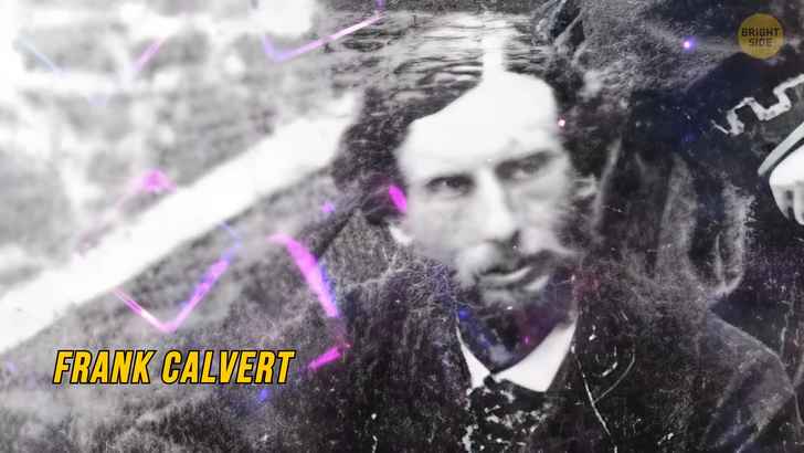
I’m still in Turkey. But this time, my destination is Çanakkale, where a myth came to life. For 3,000 years, people believed that Homer’s Iliad was fiction and that Troy never existed. In 1863, everything changed. Expatriate Frank Calvert discovered ancient ruins in western Turkey. He was convinced they belonged to the ancient city of Troy. Heinrich Schliemann examined this area in 1868. That’s when Troy saw sunlight again after all those centuries. Troy has complex layers.
Over the years, 9 ancient cities were built on top of one another. Historians say that the area was strategically located between Europe and Asia, so it became a prosperous trade and cultural center. This strategic position made Troy attractive throughout history. After the Trojan conflict, the city was abandoned between the years 1100 — 700 BCE. Then Greek settlers rediscovered the area, and Alexander the Great ruled there. The Romans then invaded the city. Speaking of this event, the first thing you would see when visiting the site is a replica of the wooden Trojan horse from a movie shot in 2004.
The next stop is Lothal. In the 1950s, Lothal and several other Harappan sites were discovered in India. These new provinces extended the boundaries of the Indus Valley Civilization. Lothal was an important part of the Harappan civilization. It had vast cotton and rice fields. Plus, it had a bead-making factory. Beads were made from semi-precious stones, like agate. Many of these beads were later found in Mesopotamia, which serves as evidence that Lothal was a thriving trading port. Archaeologists believe that the city was a part of an ancient trade route. Traces of agriculture, check. Traces of trade, check. What else? The remains of residential buildings, streets, bathing pavements, and drains. Some real city planning — and impressive examples of early urbanization. The town was well constructed. There were modern houses. Some of them had six rooms, bathrooms, a large courtyard, and even a verandah. Lothal also had the world’s oldest known dock. It linked the city with the Sabarmati River and the trade route.
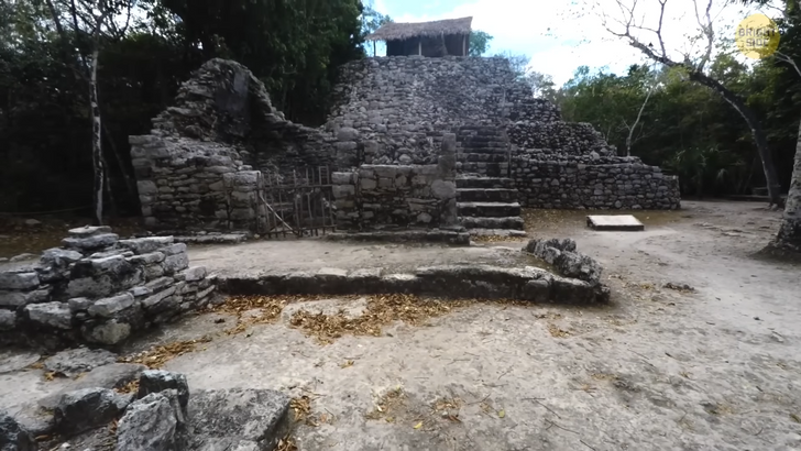
The ancient Mayan City of Calakmul is located in southern Mexico in the tropical forest of the Tierras Bajas. From 500 CE to 800 CE, Calakmul was home to over 50,000 people. There was a central plaza surrounded by outer districts. And if we count both the inhabitants of all those outer areas and those who lived in the center, Calakmul had a population of more than 1.5 million people! It was a city that was habitable for 12 centuries.
It’s believed that the place had more constructions than any other excavated Maya settlements in the region. After 1000 CE, the Maya civilization there faced a downfall. The settlement that was once the center of Mesoamerica was almost completely abandoned. The ancient city was at the heart of the second largest tropical forest in America. The site is well preserved, so today, if you were to visit it, you would be able to picture what life looked like in ancient Mayan times.
The city remains include architectural complexes and sculpted monuments, defensive systems, quarries, water management features, agricultural terraces, massive temple pyramids, and palaces. Not to mention a variety of body ornaments and other accompanying objects. It proves that complex state-organized societies lived in this tropical forest. The Mayans depicted nature in their paintings, pottery, sculptures, rituals, and even food.
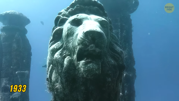
I’m moving on to a place people thought didn’t really exist. The city of Thonis-Heracleion appeared only in a few inscriptions and ancient texts. Turns out it was waiting to be discovered for thousands of years. Scientists searched the majority of the coast of Egypt. But then archaeologist Franck Goddio and his team detected a colossal face looking at them from under the water. The ancient city of Heracleion was discovered completely submerged 4 miles off Alexandria’s coast. In the ruins of the lost city, there were 64 ships, 700 anchors, and a treasure trove of gold coins.
Archaeologists consider a 16-ft-tall statue and the temple remains the most important findings discovered by the expedition. Back then, the city had ceremonies and celebrations that took place in the temple of Amun. The ruins and artifacts were made from granite and diorite, so they were in good condition even after having been in contact with water for centuries. They give people a glimpse into what life was like 2,300 years ago in one of the most important trade ports of the world.
The city had a network of canals. You can think of it as an Ancient Egyptian Venice. The canals linked many separate harbors and anchorages. Towers, temples, houses, and other structures were also linked by bridges. Thonis-Heracleion was the country’s main port for international trade and the collection of taxes. No one really knows how the city ended up submerged, but archeologists connect it with natural causes. At the end of the 2nd century BCE, most probably after a flood, Heracleion got covered with water. Then Alexandria, the city founded by Alexander The Great, became more glorious than Heracleion. Before Alexandria’s fame, Heracleion was the main port of entry to Egypt. So, after the disaster, many ships heading for Heracleion had to change their route and go to Alexandria. Heracleion lost its glory until its rediscovery in 1933.
Mesa Verde is an American national park in Colorado. The park is the largest archeological preserve in the US, with more than 5,000 sites, including 600 cliff dwellings. Mesa Verde means “green table” in Spanish. The name comes from the shape of the mountains in the area — with flat tops and steep sides. The park is an Ancestral Puebloan archaeological site. Starting from 7500 BCE, a group of Nomadic Paleo-Indians seasonally lived in Mesa Verde. They were hunters, gatherers, and crop farmers. They built the first “pueblos” in the region. By the end of the 12th century, the Mesa Verdeans began constructing massive cliff dwellings, which are now the best-known structures in the park.


