I Refused to Train My New Colleague for Free, I’m Not a Charity

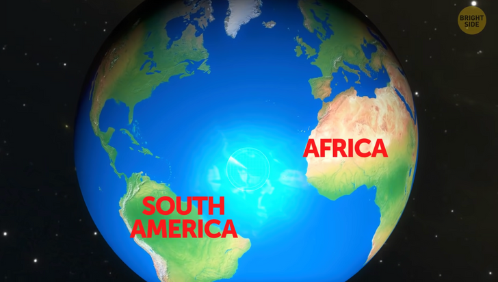
In 2016, scientists decided to visit the widest part of the Atlantic Ocean, between Africa and South America. It’s kind of lonely there. They went days without seeing a single plane or ship. It was mostly just dolphins and whales swimming by. They were in the middle of nowhere, so why?
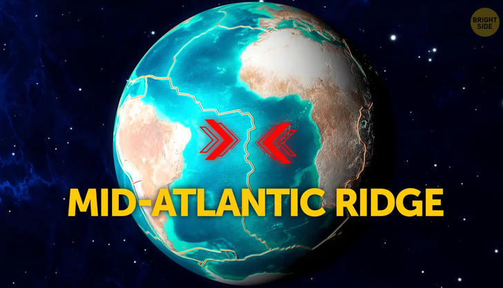
They were floating right above one of the most important geological spots on Earth, the mid-Atlantic ridge. It’s where two monster tectonic plates meet. Tectonic plates are massive jigsaw pieces that are constantly moving, even though we usually can’t feel them. They form Earth’s crust and, in this case, meet beneath the Atlantic Ocean.
The researchers floated over the ridge and dropped down some instruments that detect waves, earthquakes, and other vibrations. A year later they came back to collect the results. At first, the goal was to learn more about the history of the 2 plates. But the instruments picked up a whole lot more than that! They found out some stuff about the future too!
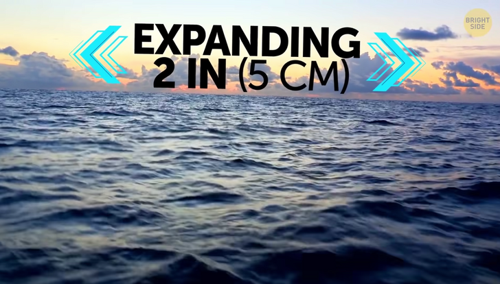
Way down at the bottom, there’s a layer of extremely hot liquid rock that’s constantly rising up, pushing on the tectonic plates and causing them to move apart from each other. That means that the Atlantic Ocean is expanding by about 2 inches every year, pushing Europe and Africa away from the Americas.
At the same time, its bigger neighbor, the Pacific Ocean: is shrinking. It’s the biggest ocean right now, with a huge area that’s around 30% of the Earth’s surface. Its average depth is 13,000 feet, and is home to the famous Mariana Trench, the deepest spot in any ocean.
And yeah, it’s now shrinking by around one-fifth of a square mile per year. Some scientists even believe that eventually, millions and millions of years from now, the Pacific Ocean could completely disappear.
This ocean is where we think most earthquakes happen, plus it’s where a lot of the world’s volcanoes are. All that causes lots of shaking...plates move around, and old parts of the Earth’s crust get destroyed. The ocean floor can’t grow fast enough to replace it!
This means some big changes are coming in the future. A couple of inches aren’t exactly a big deal, but after a few hundred million years, there’ll probably be a new supercontinent on Earth. Australia is slowly heading north, and it could eventually collide with Korea, Japan, and eastern China. Africa is moving too...in 50 million years it’ll be pushing right up against the southern parts of Europe.
Since it’s all happening so slowly, I’ve had a chance to think up some future scenarios, ok, not me, a bunch of super brainy scientists with even brainier computers.
The first scenario: a monster land mass called Novo. The Americas would slam into Antarctica, then they’d team up and head over to Africa. Meanwhile, Africa would have already smashed into Europe and Asia. Not bad, at least you’d save some money on plane tickets. But for most people, it would take an epic road trip to get to a beach somewhere.
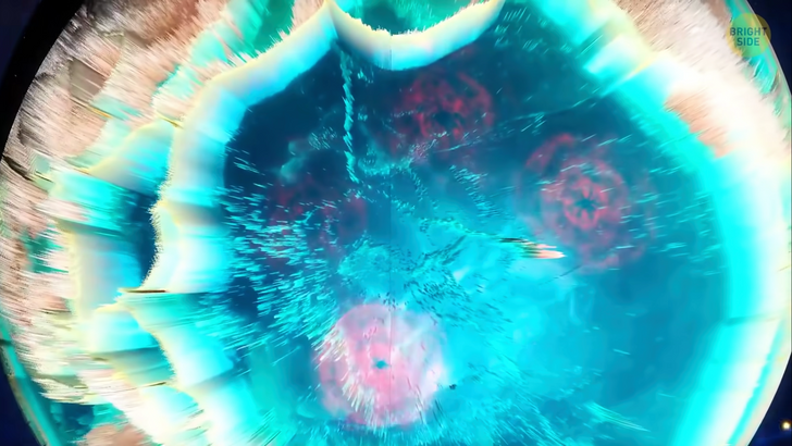
The second scenario is Ultima. I feel like these all sound like car names...anyway, in this scenario, the Atlantic stops getting wider, actually, it’s the opposite. It starts closing in on itself! This new super cool continent would be surrounded by the Pacific Ocean.
Scenario 3, Aurica. Both the Atlantic and Pacific oceans eventually shrink down until they either disappear or end up like tiny little lakes. All the life in these two oceans is gone. Instead, some new ocean starts forming to replace them.
And the new supercontinent? It has Australia in the center, with the Americas and East Asia each on the opposite side of the small puddle that used to be the Pacific. The rest of the planet is one, big, unexplored super-ocean, inhabited by...who knows! I won’t be around then.
Number 4, Amasia. There’s that car thing again. This one predicts Africa, Australia, and all the continents except Antarctica start moving North. Sorry, Antarctica, even planet Earth keeps forgetting about you. Better luck next time!
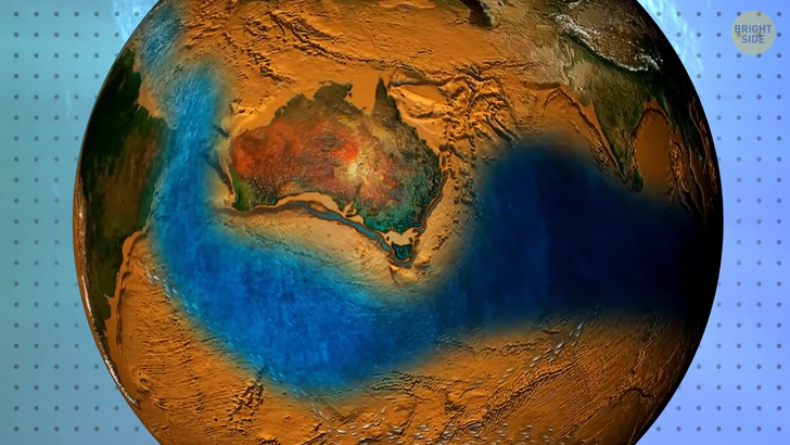
Way off in the future, it might be possible to take a big old road trip across every continent or drive across the African-South American border, or even finally get to Australia without having to take the longest flight of your life; but we’ve got a while to wait. Hmm. What should I do for the next 250 million years? Binge-watch some Bright Side? Tectonic plates move at different speeds, some slower, some slightly faster. Your hair and fingernails actually grow at roughly the same speed as these beasts move!
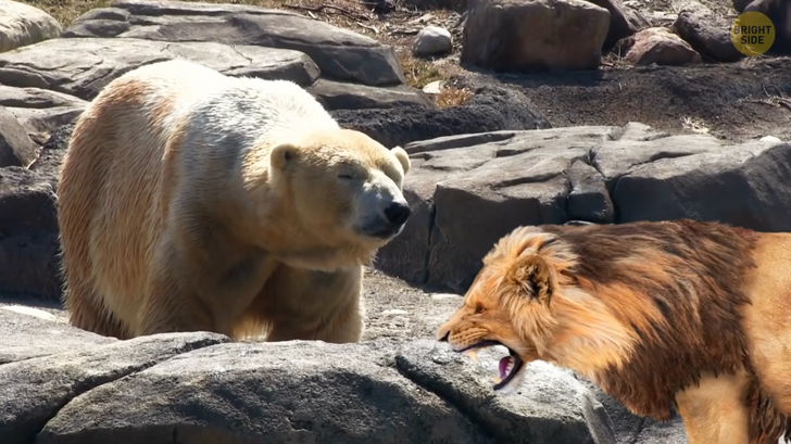
Imagine if everyone lived on one of those super continents! Animals would finally be able to cross continents and meet species they’d never seen before. Leopards, rhinos, lions, elephants; imagine if they got curious enough to set out on a journey out of their habitat... A lion might meet a polar bear! Kangaroos could finally leave the land down under, and birds that migrate to warmer places would have to totally reorganize their travel schedules...who knows what the climate would be like!
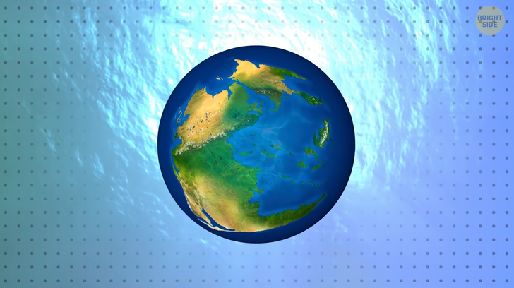
Playing around with the continental jigsaw puzzle isn’t exactly a new thing. Our world didn’t always look like this. 300 million years ago, our planet didn’t have 7 continents, it only had one. A supercontinent called Pangaea.
Pangaea was surrounded by only one ocean. Over time, it slowly started falling apart. At one point, South America, Antarctica, Australia, and Africa were one unit, and North America and Eurasia were another. Over time, these continents also splintered off, each heading in its own direction.
Scientists have discovered many similar plants and animal fossils on continents that are separated by huge oceans. Even when you just glance at a map, you can see how Africa and South America look like two massive puzzle pieces that fit together perfectly.
When you look at all the oceans and seas on a map, it may look like they just flow right into each other, like there’s only one big ocean, and people gave different names to different parts. You wouldn’t think that if you’ve ever been to the place where they meet!
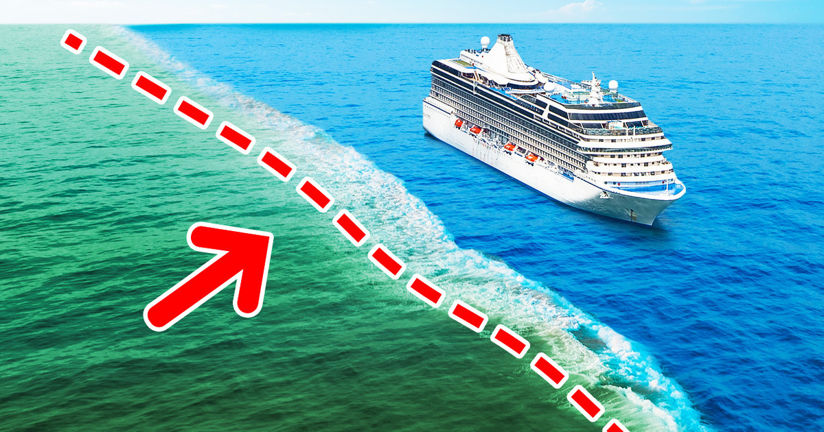
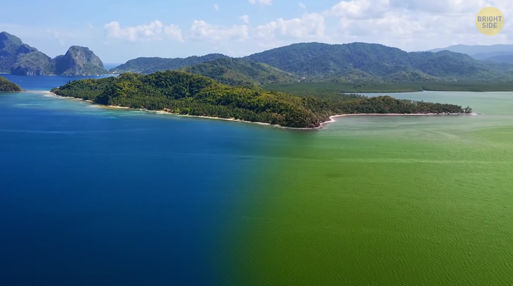
The Atlantic and Pacific have a strict border that looks like an invisible wall separating 2 completely different worlds. You can clearly see different colors and waters, and they don’t mix. Of course, there’s no wall or any actual physical border. But, not all water’s the same.
The Pacific and Atlantic have different densities, amounts of salt, temperatures, a whole bunch of differences. The borders that separate two bodies of water are called ocean clines. The line you can see dividing the Atlantic and Pacific Ocean...that’s mostly caused by different salt levels.
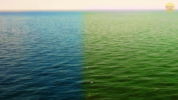
This is what layers of water with different salt levels look like. It’s like they’re separated with cling-film, each one with a different color, because it has different things growing in it. To see a clear noticeable border, one sea or ocean has to be a whole lot saltier than the other. Want to get active and use up all the salt in your house? Pour some colored salty water or seawater into a glass bowl. Then add fresh water on top...voilà!
The Pacific Ocean is the less salty one. That’s because there are loads more rivers flowing into it. Heavier liquids...are heavy. So they should sink to the bottom.
But then, why is the border between the Atlantic and Pacific a vertical line, and not a horizontal one? First, the difference in density of these two salty beasts may be enough to stop them from mixing, but it’s not really enough to send one of them to the bottom, with the other floating above it.
There’s another reason, and it’s all about the Earth spinning round. Say you’re flying From Chile to New England. If you fly straight North, by the time you get there, the Earth will have turned a bit, and you’d be nowhere near your destination! To get to the right place, the pilot needs to fly in a bit of a curve.
That’s sort of the same reason that currents move around in different directions. The currents in the Atlantic and Pacific oceans move away from each other, so they don’t really mix at their border, even though they’re both just water! Confused? Yeah, Me too.


