12 Life Moments Where Quiet Kindness Played the Main Role

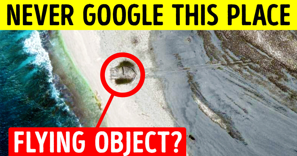
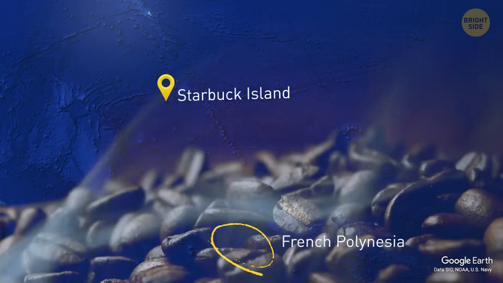
This is Starbuck Island in the middle of the Pacific, near French Polynesia. Even if the name brings to mind a strong coffee smell, you will find no Frappuccino there — the island is uninhabited. It’s also pretty tiny — just 5 and a half miles east-to-west and about two miles north-to-south. The island is so small, NYC [300 square miles] could fit in 18 such islands [4,003 acres = 6.25 square miles]. Seems like there can be zero interesting things, but... Google maps have something to surprise you.
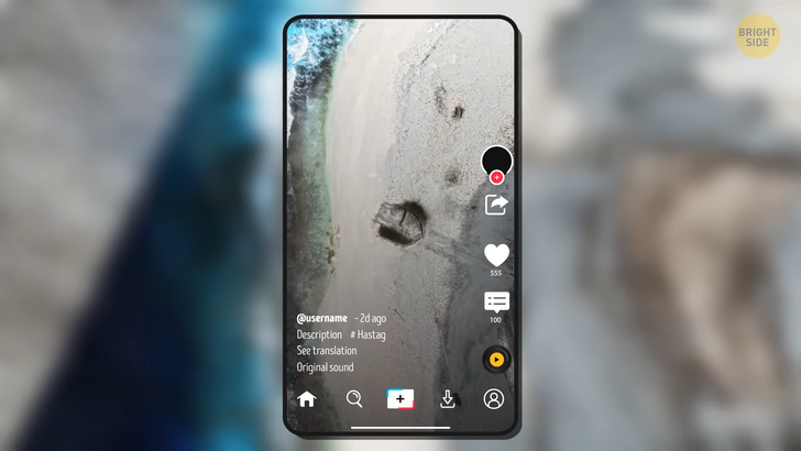
A couple of months ago there was a viral TikTok video about a weird saucer-shaped object found on Google maps on Starbuck Island. The video racked up over 5 million views in 2 days! The creepiest part is that there’s a long streak traversing almost the whole island. It looks as if someone had to brake all their might, but failed and it resulted in a crash of that saucer-looking vehicle. Could that be another possible proof that we aren’t alone in the Universe, and someone tried to visit us? And couldn’t drive very well?
All these speculations are blood-chilling, and the users believed no one knew the true story behind those traces and the saucer. Little did they know that back in 2009, a group of explorers visited the deserted island. They made a couple of videos that were uploaded to the net. Thing is, the island didn’t use to be that deserted. In the 19th century, Starbuck Island was used for guano mining. A tiny clarification here: guano is bird and bat droppings. Yeah, droppings mining doesn’t sound quite convincing, but guano is rich in phosphates, and phosphates have a lot of uses and can be used as fertilizers.
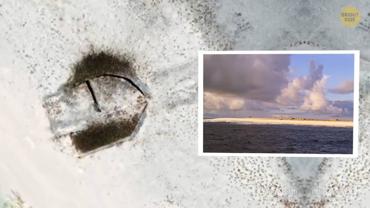
So, since there were some people on that island, they had to construct a sort of temporary settlement, which they did. Now back to Google maps — do you see that angle? Right, the satellite picture can be compared to the pictures and videos made in 2009 by the explorers. Another point proving that this weird object has a terrestrial origin is that there are some trees on the island, which is bizarre. These trees aren’t native to coral limestone terrain, and they were definitely planted by people. Mystery solved, the saucer-shaped object is not an extra-terrestrial vehicle, but what remains from a settlement! And the traces stretched across the island... who knows? But it’s definitely nothing out-of-this-world.
Another TikTok user claimed they saw zombies on Google Maps. Let’s see if this one’s true! First off, the video scared over a million people who watched it. This TikTok starts with a view from afar, and as the user zooms in, we understand we’re in Finland. Then we see an inscription — ahem — I surrender [Hiljainen kansa tilataideteos Reijo Kela] — Finnish viewers, help me out! The next thing we see is a low-quality Google street view image and that shot sends shivers down my spine. It looks like a mass gathering of people, but they don’t look quite alive, the image looks foggy and bewildering, are these real zombies?...
Sure thing they’re not. First off, let’s deal with the inscription — it translates to English as “A Quiet People Spatial Artwork by [Reijo Kela]” this person. So, he is a Finnish dancer and choreographer and intended The Silent people artwork to be a part of his performance, but now it’s an independent art piece. Fun fact: the Silent people figures get changed twice a year: in the fall and at the beginning of the summer. They get all the clothes from donations. Bang, another myth debunked, BrightSide — 2, TikTok myths — 0!
Right, now take a look at that pic. Anything weird you’ve noticed? Right, it’s a three-legged girl. The satellite picture was taken in Croatia, but there’s nothing to worry about, these are nothing but Google maps issues. Thing is, the technology used for Google maps purposes has a curious algorithm — each object gets photographed several times and then the resulting photos are stitched together to achieve the most accurate image. In most cases, it works, but sometimes it seems like the technology tries too hard and it results in extra details and sometimes extra limbs people have in the photo. And if we’re going to have a three-legged race, then I’d bet on her.

There’s nothing that can escape the all-seeing satellite eye, right? On September 20, 2022, a TikTok user posted a video about a plane found underwater on Google Earth App. The plane was found off the coast of Crooked Island in the Bahamas, not far away from Colonel Hill Airport. Now let’s see if that’s true! The first thing we should keep in mind is that even Google Earth Help themselves admit the fact that the pic found in the app may be the result of several photos, either satellite or aerial, taken on different days and even in different months! The result of stitching might sometimes be a bit unpredictable — remember the three-legged girl? How could we forget? So, as you may have already guessed, this photo is nothing but stitching. The area with that plane was photographed multiple times — in 2004, and 2005, then it was photographed 8 times in 2015, and a couple of times later. The most probable reason for this photo being on Google Earth is that these are the 2015 shots combined together.
They say the reticulated python is the largest snake in the world and can reach a whopping 20 feet in length. There’s a record of one such python found in 1912 that reached 32 feet in length. However, users found even a more staggering snake on Google Earth. On March 24, 2022, another mind-blowing video was posted on TikTok. The video got over 200k likes, imagine the views! This time, the user claimed that a mega-skeleton of the extinct Titanoboa was found on Google Maps somewhere in France. It was hard to judge from the image, but the skeleton was estimated to be about 100 feet long and could have certainly been the longest snake that ever existed... if the snakes had had such a skeleton in reality.
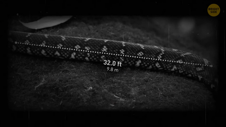
So, it’s the number 1 reason why this one is not a snake. You see, snakes have somewhat thinner ribs — and the skeleton in the picture looks way more massive. Another curious thing about this skeleton is that it turned out to be made of steel. See what I’m driving at? It’s not a real skeleton, but a stunning 425 feet long art installation. It’s called this French name “Le serpent d’océan” [leh ser-PUN doh-SEE-un] which means “Ocean snake” in French. The installation was created by a Chinese artist Huang Yong Ping and it’s free to visit. The cool thing about this installation is that it only appears with tides, so it looks like an archaeological excavation. Welp, the artist made a monkey out of millions of users! If you ever travel to France, you can go check this extraordinary piece of art — it’s located in This town — Saint-Brevin-les-Pins [Sun Breh-VUN leh Pun], not far away from this town Nantes [Nunt].
Sometimes Google Maps show something that never existed. Meet Sandy Island! For a long time, it was believed to be located near New Caledonia in the Eastern Coral sea. It all started when captain James Cook included it in the charts back in 1774. He never visited it but it was later included in several more charts as a precaution against reefs — at the time it was standard practice. Plus, the area was and is still swarming with pumice sea rafts — these are the masses left after an underwater volcano eruption, so such a precaution was a necessity.

This way, the island stayed in the charts until 1974. A flying recognition campaign claimed there was a lack of appearance of that island, and Sandy Island was deleted from the charts. Google Maps appeared back in 2005, and the island, surprisingly, was there, even though it had been previously “undiscovered”. It got removed from Google Maps only in November 2012. Now there’s nothing but black pixels, but there used to be a darkened sea area. Today some specialists believe the whole situation with the island was just a copyright trap, which was a popular practice among cartographers back in the day. Those traps helped cartographers protect their intellectual property. So, have you ever seen anything weird on Google Maps?


